HORSE CAMPS & TRAIL MAPS
CLICK HERE to visit our new GPX Trail Resource page!
All these camps and trails have GPX files for your GPS app!
All these camps and trails have GPX files for your GPS app!
|
|
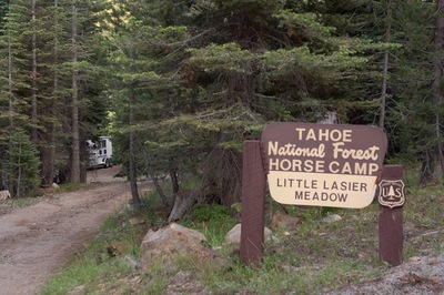
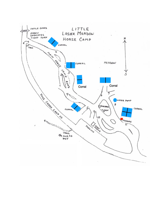
Little Lasier Meadows Horse Camp
At Pacific Crest Trailhead near the Jackson Meadows Reservoir.
11 Campsites (2 vehicles each), picnic tables, fire rings, horse corrals, tie rails, water for stock and restrooms. Directions to Little Lasier Meadows
Little Lasier Meadow Horse Camp is close by to the now-closed Euer Valley Horse Camp and a perfect alternative.
Highway 80 East to Highway 89 North, toward Sierraville. Go almost exactly 15 miles on Highway 89 to the Jackson Meadows turnoff, Fiberboard Road. Be careful, the sign is not easy to see. Proceed approximately 16 miles to the East Meadows turnoff - you can't see the camp from the turn off. Cross metal bridge, take first dirt road left turn. It is a one-way drive into camp. Little Lasier Meadows Horse Camp is approximately 2 miles. GPS 39.49146, -120.51487 Sometimes Recreation.gov says there are no sites available when they really are available; CALL directly to Tahoe National Forest office at Nevada City at (530) 265-4531.
|
|
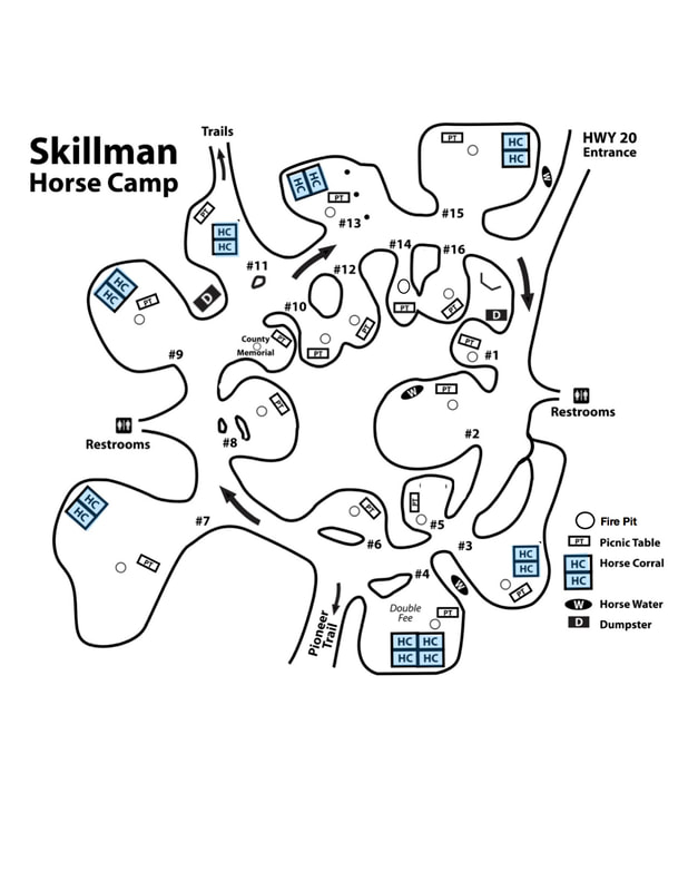
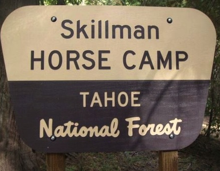
Skillman Horse Camp
In the beautiful Tahoe National Forest at the 5000-foot elevation. Enjoy marked, dedicated trails, while exploring this beautiful and scenic area.
Be sure to 'LIKE' the famous Skillman Horse Camp on Facebook HERE! Directions: 15 miles east of Nevada City, turn right when you see Skillman sign, camp is immediately off Highway 20
IMPORTANT RESERVATION INFORMATION:
Reserve your campsite spot at www.Recreation.gov Sometimes Recreation.gov shows no sites available when they really are - CALL directly to the Tahoe National Forest office at Nevada City at (530) 265-4531 ONE walk-in site available if you want to take a chance. CLICK to DOWNLOAD NEW SKILLMAN HORSE CAMP SITE MAP showing new corrals! to see detailed information about all camp sites. |
USGS DOWNLOADABLE TOPO MAPS from National Geographic FREE! Printable USGS PDF Quads http://www.natgeomaps.com/trail-maps/pdf-quads A Quick, Easy, and Free way to Download any Quad in the CountryNational Geographic has built an easy to use web interface that allows anyone to quickly find any quad in the country for downloading and printing. Zoom into the area you wish a map, then click on the red dot. Then save that pdf to your computer and print as needed. |
Downloadable Trail Maps
Lone Grave map updated 5/1/2023
This is the most current map of trails in the Lone Grave Trail system. Please note that the map shows the official Forest Service trails which are marked with signs. Be aware that there are several other non system trails (or social trails) in the area which do not have signs.
Also you will find some closure signs on a few of the tie trails that are shown on this map.
The trail system and signs are in the process of revision. To see the most current maps, visit out GPX resource page.
NEWEST SKILLMAN HORSE CAMP, BURLINGTON AREA MAPS!!
We have been waiting for two years for these maps to be updated and this is the first set!
Click below, these maps show ALL the trails, non-motorized and motorized.
1. Skillman Horse Camp area trails map with Legend
2. Skillman Horse Camp east area trails map
3. Lower Burlington trails map
4. Upper Burlington trails map
