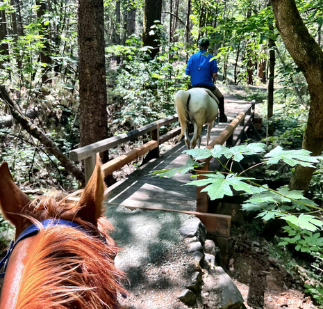
INTERACTIVE TRAIL RESOURCE GUIDE
GCTC has gathered our favorite trail GPX files and put them on this page
for you to download into your phone. If you haven't tried them yet,
interactive trail maps are a great way to ride and not get lost.
for you to download into your phone. If you haven't tried them yet,
interactive trail maps are a great way to ride and not get lost.
|
What you need:
SMART PHONE and a GPS APP These maps work great on an iPhone or Android. Here are the GPS apps we use, but there are others you might like better. Just make sure they can use GPX format files. Download the apps from the Apple App Store or Google Play:
|
Opening GPX Files on iPhone
Use this Tutorial link to Record and Resume Tracks help - Gaia GPS:
Use this Tutorial link for importing GPX files into your smart phone:
|
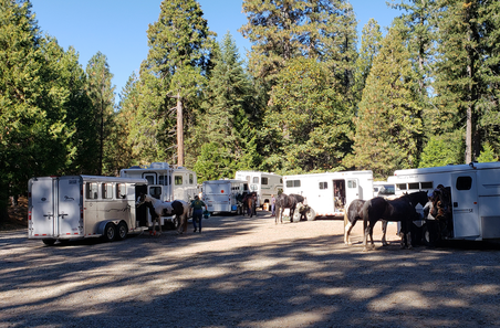
What you will find on this site
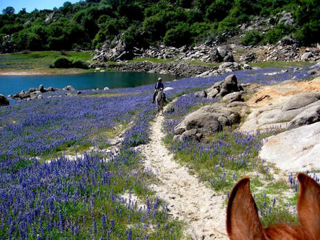
GPX FILES and TRAIL RATINGS
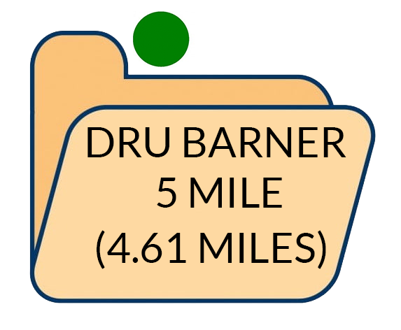
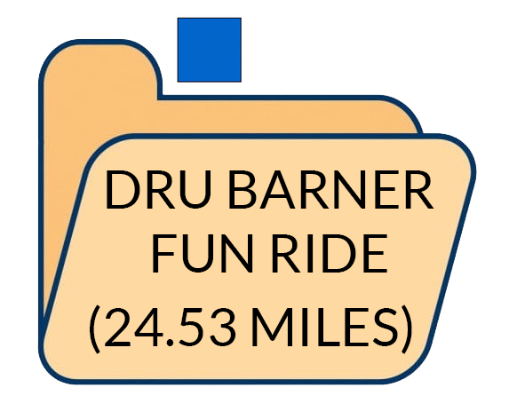
Listed alphabetically by riding area and trailhead, this guide includes a description, technical rating and GPX data.
By clicking on a trail folder, Inside will be a downloadable GPX file with a GPS trailhead waypoint and the GPS trail track.
Also inside the GPX file will be more information, such as elevation, rig parking, date uploaded, if water is available, other comments.
Unnamed trail folders are waiting for GPX files to be uploaded.
GPX FILES and TRAIL RATINGS
Listed alphabetically by riding area and trailhead, this guide includes a description, technical rating and GPX data.
By clicking on a trail folder, Inside will be a downloadable GPX file with a GPS trailhead waypoint and the GPS trail track.
Also inside the GPX file will be more information, such as elevation, rig parking, date uploaded, if water is available, other comments.
Unnamed trail folders are waiting for GPX files to be uploaded.
TRAIL RATING SYSTEM
The technical rating is a combination of your riding skill level with your horse's trail experience. These ratings come from our members and are subjective and personal. We can't be responsible for your experience, so with safety in mind, use caution when riding any unfamiliar trail. If you are uncomfortable riding any segment, get off and walk.

EASIEST Most beginning riders with experienced horses, and intermediate riders on novice trail horses will be able to ride the majority of these relatively flat, wide, and shorter easy trails.

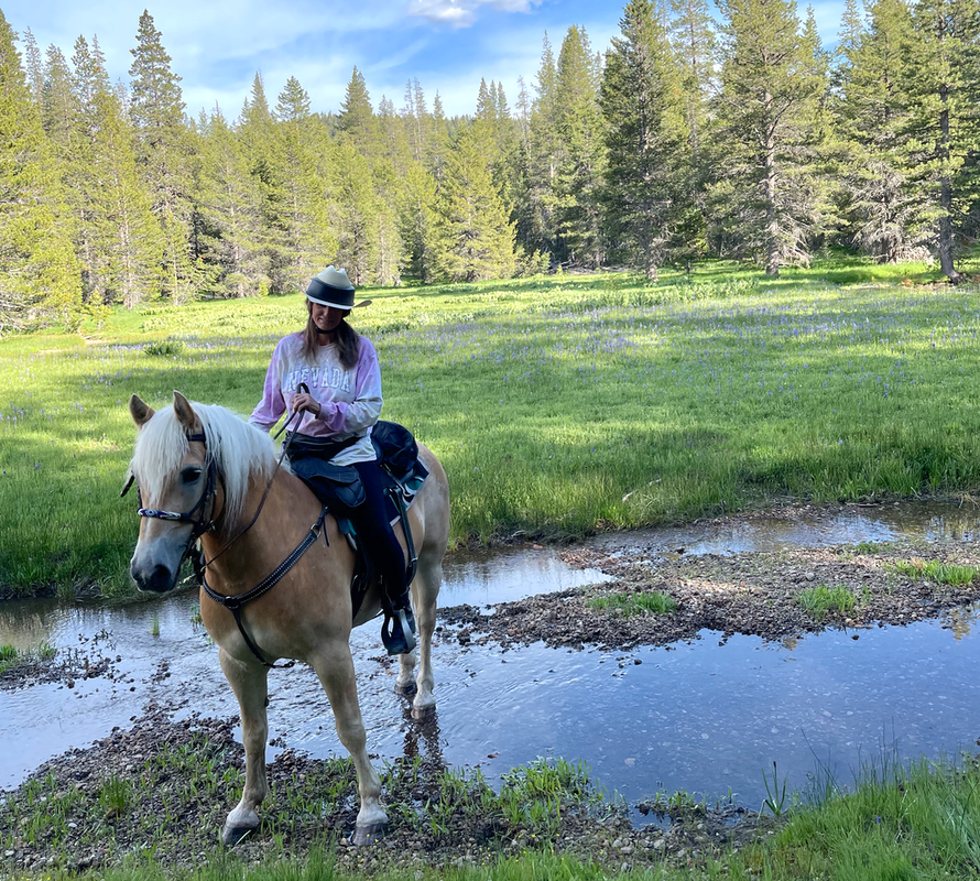
MORE DIFFICULT For an intermediate rider on a more experienced trail horse, this trail will have elevation changes, longer loops, narrower track. May have some creek crossings or other obstacles. Most riders can enjoy these trails.

MOST DIFFICULT This is for our experienced riders on experienced trail horses. It may include wide elevation changes, drop offs, steep trails, deep water crossings, unknown obstacles. These trails will be challenging, but rewarding.

DOUBLE BLACK DIAMOND - Expert riders on very experienced horses. It may include going off trail, steep drop offs, jumps over logs, picking through downed trees, deep water crossings.
Auburn State Recreation Area
|
We need some Auburn SRA GPX files - send them to US!
|
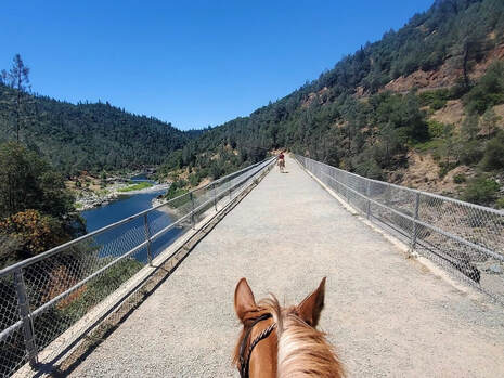
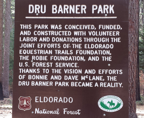
Dru Barner Equestrian Park
|
  |
Empire Mine State Park
|
   |
Folsom Lake State Recreation Area
|
 |
Grouse Ridge
|
We need some Grouse Ridge, Bowman Mt., Loney Meadow
GPX files - send them to US! |
Hidden Falls Regional Park
|
    |
Little Lasier Horse Camp
|
  |
Lone Grave/Gold Country Equestrian Staging
|
   |
Overlook Equestrian Staging

|
 |
Packsaddle Horse Camp
|
We need some Packsaddle Horse Camp GPX files -
send them to US! |
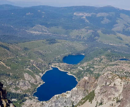
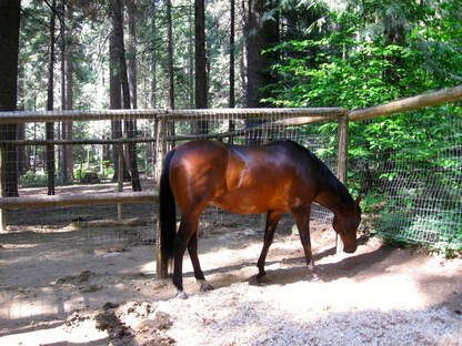
Skillman Horse Camp
|
 |
Spenceville

|
  |